

by: Thomas P. Blake, PLS, Nadeau Land Surveys
Curator, New Gloucester Historical Society
This January 1910 survey drawing for the Portland, Gray & Lewiston R.R. is known as a “profile”, as it provides a profile view, or side view/cross-section, of the terrain. Used for planning and analysis, it is common for current design surveys to be presented as a “Plan & Profile”, which typically shows the vertical profile on the lower half of the sheet with a corresponding horizontal plan view of the same location on the upper portion of the sheet. These “Plan & Profile” drawings are especially useful for linear features, such as rivers, roads, and railways. It is also common to use 24” x 36” sheets of paper to present the “Plan & Profile”, with match lines shown on the edges of each sheet to depict continuation. A drawing on a single sheet 25 ½ feet long, such as this, is quite uncommon indeed!

As noted in the legend on the far right edge of the sheet, the black “Surface Line” is based on the plotting of the surveyed centerline elevation measurements. It represents the changes in elevations along the survey baseline, which in this case is the proposed centerline of the railway. The centerline elevation is typically measured by the surveyor every 50 feet, with a cross-section elevation taken 25 feet on either side. For the Interurban, which had a right of way fifty feet wide, this would have provided elevations for the full width of the right of way.
The red “Grade Line” is the proposed design grade based on the best fit of existing elevations, and would have been added after evaluating the black lines existing profile. The percentages on the bottom represent the red line proposed grade incline, with the “x” between each percentage marking the angle points in the red line where the grade would change.
The occasional light blue-grey lines represent notable banks within the right of way, typically along an existing roadbed, while the black dashed lines appear to represent an alternate proposed design grade, and are shown with a corresponding alternate design grade percentage down below.


Note the numbers at the very bottom of the map. These
represent the centerline horizontal distance from the
beginning in hundreds of feet.
Edited from the Original Photo by Tim Gurczak,
NEDCC Collection Photographer

Note at the top - several notes mention important features.
Edited from the Original Photo by Tim Gurczak,
NEDCC Collection Photographer
Occasionally, the elevations of important features were noted, with a perpendicular offset distance from the centerline. Elevations are always on a particular datum, meaning they are referenced to a known or assumed elevation level, often Mean Sea Level. The current datum used in the United States is the North American Vertical Datum of 1988 (NAVD88), which superseded the National Geodetic Datum of 1929 (NGVD29). This was originally known as the Sea Level Datum of 1929 and was established by the National Geodetic Survey. Google Earth, which uses NAVD88, depicts elevations approximately 102’-105’ lower than the elevations listed on the survey.
The Interurban baseline was likely being surveyed around the same time the USGS was performing its surveys for the surrounding areas. The first few miles of the route would have been part of the U.S. Geological Survey’s Maine Poland Quadrangle, dated December 1908, but surveyed in 1906-1907 in cooperation with the State of Maine. The early USGS topography maps depict contour lines and various benchmarks, which list the vertical datum as mean sea level, so it is curious why this profile survey should have elevations over one hundred feet higher than the USGS elevations. It is helpful in our analysis of this survey that from West Falmouth heading south to Portland, the Interurban line was “newly” depicted on the 1914 Portland Quadrangle USGS Map.
5% was apparently the magic number for the design, as this was the maximum grade to be utilized. Areas where the red line is above the black line would be where there was fill needed, while areas where the red line is below the black line would have to be cut, so placing the proposed red line as close as possible to the existing grade of the black line would minimize the cost of labor and materials. In some places, the word “ledge” can be seen, hand-written at a few of the high points.

Sheet 1 Photo by Tim Gurczak, NEDCC Collection
Photographer
Sheet 1:
It is interesting. The stationing begins on Minot Avenue in Auburn rather than in Portland or Lewiston at either end of the line. It is also curious, based on the distance and elevation difference between the starting point and the first two road intersections, that the proposed starting point at station 0+00 appears to be at the intersection with Court Street. Shedding light on this is the passage in “Maine’s Fast Electric Railroad, Portland-Lewiston Interurban” by O.R. Cummings, confirming this original plan, then was later changed to have the line run up Poland Road to Fairview Junction on Minot Avenue, which is longer and steeper than the original depicted on this profile, and also had to cross Taylor Brook.
The first stretch shows it running along a “Highway”, which is now known as Manley Road (Court Street extension), and then along Hotel Road, up to a “Road” at station 52+00, being the current Poland Road, which the Interurban would ultimately follow alongside to Fairview Junction on Minot Avenue.

This is one of the Maine Lidar maps that won't really
show the PLI right-of-way. It followed
Poland Road from Fairview Junction at Minot Avenue.


Continuing to follow along Hotel Road, it crossed “Flagg Road” at station 68+00, now known as Littlefield Road, at Littlefield Corner.

It was designed to cross about 20 feet above the Little Androscoggin River at station 80+05, on a bridge squeezed between bridges for Hotel Road and “Lewiston & Auburn R.R.”, which it would meet at a grade crossing immediately after at station 84+00. It then began one of the steepest grades of the line, as it quickly met “Small Road”, now Martindale Road, at station 85+00.


A 4.0% grade was proposed from the grade crossing, with an alternate 4.5% grade shown with the dashed black line (the steepest proposed grade of the entire profile), running up to an apparent bridge crossing to be about 24 feet over the former “Rumford Falls Div. M.C.R.R.”, which ran behind the current Whited Truck & RV Center at 2160 Hotel Road.


The baseline is then shown to run alongside the “Highway” (Hotel Road) from station 116+00 to a “Road” (Beech Hill Road) at station 124+00.

Maine Lidar map shows the PLI
right-of-way leaving Hotel Road to cross
Beech Hill Road then crosses East
Hardscrabble Road, and is seen above as
David Drive. Then the right-of-way
exits David Drive heading south.

Sheet 2:
The baseline continues to be very level to “Danville Junction Road” (now East Hardscrabble Road) at station 132+80, and then along the current David’s Drive, roughly 10 feet above a brook at station 144+00, to a crest at station 159+00. It descends to a proposed point about 18 feet below the “Main Line of G.T.R.R.”, where the Interurban apparently created an underpass to run below the Grand Trunk.

132+80 East Hardscrabble rd-David's Dr
T. Blake Image

Maine Lidar map shows the PLI
right-of-way just exiting south from the
bend in David Drive, and travels parallel
with Hotel Road as it passes through what
is now I-95, and then underneath the
Grand Trunk Railroad overhead.


It crosses approximately 17 feet above Moose Brook at station 214+00, and about the same over another brook at station 217+00, before running along the current Ora’s Lane and crossing “Ricker Road” (Poland Spring Road/Route 122) at station 223+00 and “Gross Road” (now gone – the extension of Turkey Lane) at station 225+00. It followed the existing terrain very closely until passing the Androscoggin/Cumberland County line into New Gloucester and crossing about 15 feet above the Royal River at station 258+50.


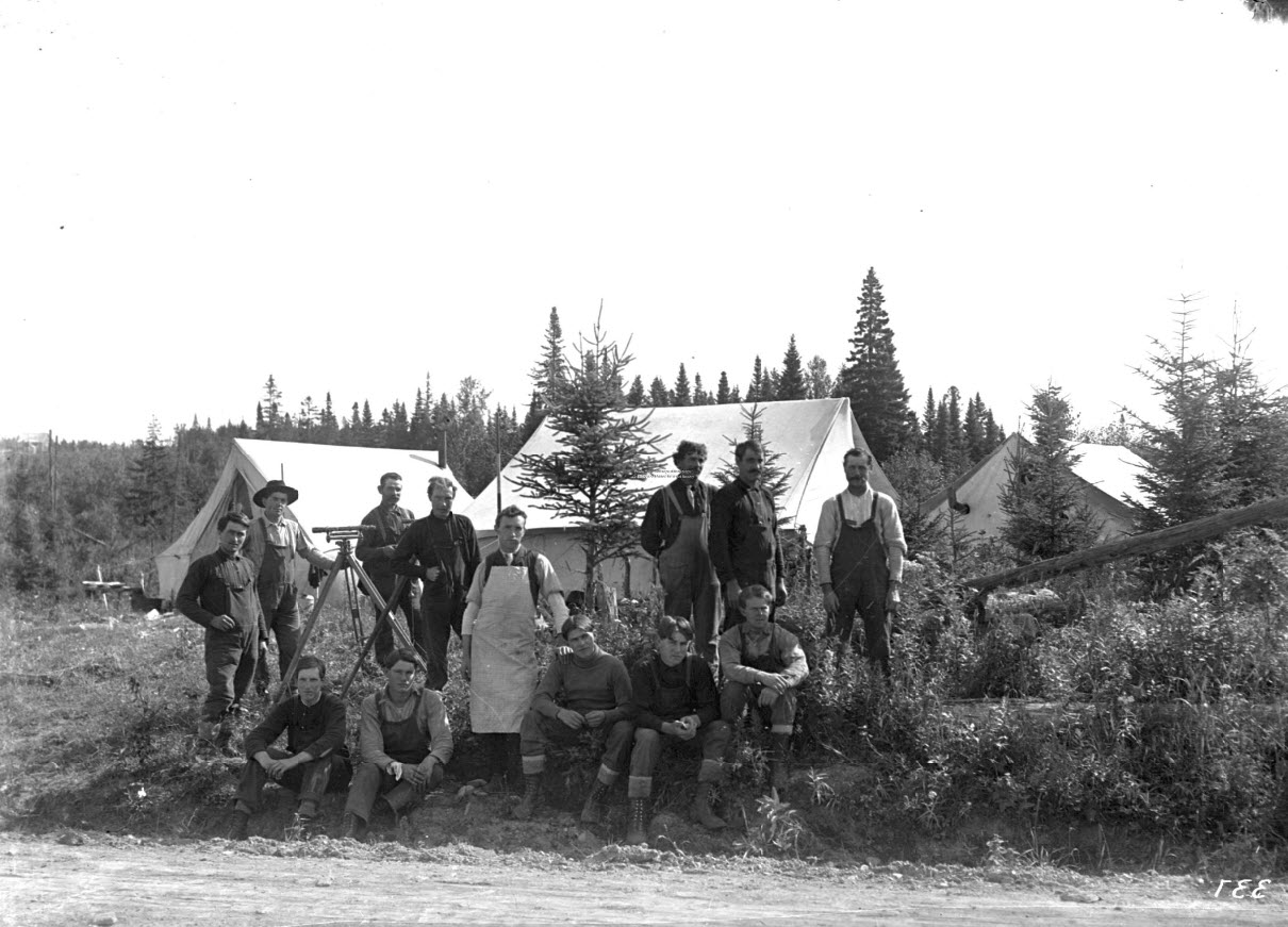
former employees of the PLI at Seashore Trolley Museum.


Photographer
Sheet 3:
It proceeded up a long, steady grade along Lewiston Road (Routes 4/100/202), with the blue-grey line shown for banking along the road, and a black dashed line for an alternate design that followed much more closely to the existing terrain in an apparent area of “Ledge”. It is odd, they did not label “Highway” along this long stretch.

Sheet 4:
It would cross a “Road” (Gilmore Road) at station 331+00, following the “Highway” (Lewiston Road) through Upper Corner along the highest elevation of the line, then pulling away from the “Highway” before crossing another “Road” (Peacock Hill Road) at station 346+00. It crossed a “Lane” at station 356+50 (probably a farm path along a stone wall at the edge of a field), where it is interesting that they noted an elevation for a “bottom of well” and an elevation for “350 ft. East”. It then crossed a “Road” (Rowe Station Road) at station 368+00 and started a long downhill stretch.


Sheet 5:
In Lower Corner, it crossed “New Auburn Road” (Cobb’s Bridge Road) at station 449+00 and “Depot Road” (Intervale Road/Route 231) at station 456+00, continuing downward to cross a 35-foot deep +/- ravine at Stevens Brook (where the crossing would dramatically wash away after a freshet several years later). It then began a steady climb, crossing Weymouth Road at station 520+00, two small brooks at stations 530+00 and 532+00, and proceeding downward across Penney Road at station 547+00.


Sheet 6:
It would follow along the current Terri Lane before crossing “Poor Farm Road” (Town Farm Road) at station 575+00 and along the current Angelica Drive, then across a couple of deep ravines for Brandy Brook (not labeled), before crossing “Yarmouth Road” (Morse Road) at station 609+00.


Sheet 7:
The line continued down into North Gray, crossing Collyer Brook (also not labeled) at station 646+00. It started uphill again, immediately crossing a “Road” (Mayall Road) at station 650+00, and following alongside a “Highway” (Lewiston Road). A blue-grey line is again seen for the road banking, and a black dashed line for an alternate design following more closely to the existing terrain.


At the next peak, someone has penciled in the word “Ledge”, where some blasting would be needed to meet the design grade. It then dipped over an apparent gully at station 686+00, before climbing up to a crossing about 8 feet above another brook at station 714+00 at the current Trestle Way entrance.


Sheet 8:
The line passed through another area of “Ledge” before meeting up again with the “Highway” (Lewiston Road) and crossing a “Road” (Colley Hill Road) at station 753+00. It continued through the center of Gray, crossing “Depot Road” (Yarmouth Road/Route 115) at station 771+00, before heading down into Gray Meadow.


Sheet 9:
It made the long stretch through the meadow, with a design grade of about 5 feet above it to apparently avoid flooding, then started uphill, crossing a “Road to East Gray” (Long Hill Road) at station 863+00.


Sheet 10:
It continued uphill and crossed a “Road” (Whitney Road) at station 898+00 before running along the current Juniper Lane through a high area of “Gravel”, probably used for material during construction. It can again be seen where someone penciled in the word “Ledge” at 3 high points before the line crossed over the brooks at stations 930+50, 942+00, and 947+00. It proceeded down across a “Road” (Verrill Road) at station 958+00, and over a “Brook” (upstream section of Piscataqua River) at station 966+00.


Sheet 11:
It curiously shows the line joining up with the “Highway” (Portland Road/Gray Road/Routes 26/100) before crossing the town line into Cumberland, and along the “Highway” for about a mile, which we know is not where it was constructed. This may be due to the steep slope around station 1000+00. We know the line ran along the current Tammy Lane before crossing a “Cross Road to East” (Skillin Road) at station 1027+00 and another “Cross Road to East” (yet unknown) at station 1035+00. It then began the long drop-down Morrison Hill, where an alternate design has been penciled in, before crossing Mill Road at station 1050+05, and then crossing about 12 feet above the Piscataqua River at station 1093+00.


former employees of the PLI at Seashore Trolley Museum.
Blogger note: Just north of the bridge is one of the many cow/cattle tunnels that passed under the tracks so the animals could safely graze on both sides of the track. In the fall of 2017, a group of us checked out the underpass.


Sheet 12:
It would then run up across a “Road to Cumberland Junction” (Range Road) at station 1102+00 and join up with the “Highway” (Gray Road) once again. A blue-grey line again represents the road bank as it is shown following the road for the next mile or so, crossing the town line into Falmouth and a “Cross Road to East” (Schuster Road) at station 1137+00.


Sheet 13:
The line would leave the “Highway” again, crossing a brook at station 1196+00, and about 12 feet above the Piscataqua River at station 1210+00. An alternate design is again penciled in through the uneven terrain before approximately 30-foot banking marked “Gravel” at station 1255+00, just before crossing about 9 feet above the Piscataqua River.


Heavy rains in 1915/16 raised havoc with Bridge #4
of the PLI in West Falmouth near Hurricane Road.


former employees of the PLI at Seashore Trolley Museum.

Sheet 14:
The line continued to run fairly flat before crossing about 7 feet above, Piscataqua River at station 1284+50. We know this bridge was constructed where the line met up again with Gray Road, but there is no indication of “Highway” shown. It then headed uphill to cross Blackstrap Road (Mountain Road) in West Falmouth at station 1302+50. It proceeded down through an uneven stretch before heading back up to “Westbrook Road” (Leighton Road at the easterly edge of Maine Turnpike Authority) at station 1347+00. Sadly, the only notation left on the map beyond this point is the word “span” at station 1387+00, which was likely the roughly 100-foot-wide expanse of Presumpscot River to cross.


Image from the original Employees Scrapbook of the
former employees of the PLI at Seashore Trolley Museum.
Thomas P. Blake, PLS
Nadeau Land Surveys
Curator, New Gloucester Historical Society
Sadly, the original map was missing about 18" or so from the West Falmouth/North Deering/Portland end. The section that is missing starts just before the right-of-way would be crossing the Presumpscot River. There was a 200-foot steel bridge over the river.
Here is a map image from Sheet 6971 III NE titled Portland West, Maine (1944). It is a first edition AMS 2, Army Map Service topographical map. The map shows the "Old Railroad Grade" starting from Deering Junction and going all the way to the West Falmouth Corners sub-station/passenger station at the intersection of Gray Road and Mountain Road (opposite Falmouth Road). That Old Railroad Grade is the former Portland-Lewiston right-of-way.

Sheet 6971 III NE shows the PLI
right-of-way as the "Old Railroad Grade" leading
north out from Deering Junction to the sub-station
in West Falmouth.

Image from the original Employees Scrapbook of the
former employees of the PLI at Seashore Trolley Museum.
Click here to learn more about Harold S. Libbey, son
of W. Scott Libbey.

No comments:
Post a Comment
Note: Only a member of this blog may post a comment.